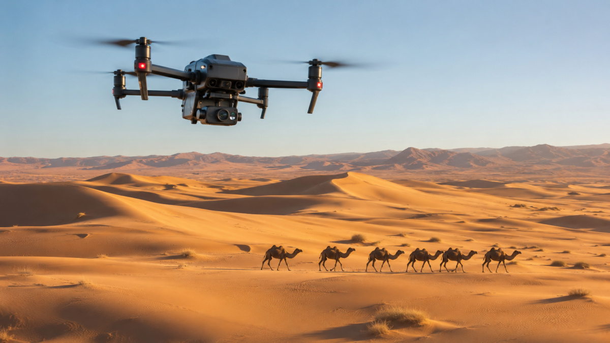
Saudi Arabia is driving a sophisticated integration of artificial intelligence across its traditional primary sectors, with researchers pioneering custom computer vision and unmanned aerial vehicles (UAVs) to modernize desert livestock management. This initiative leverages advanced aerial tracking systems to optimize herding efficiency, protect valuable agricultural assets, and mitigate infrastructural risks across the Kingdom’s expansive desert topographies.
Executive Summary
- Technological Innovation: Deployment of autonomous AI drones integrated with object-detection machine learning algorithms.
- Operational Capabilities: Real-time herd tracking, behavioral analysis, and rapid geolocation of displaced animals.
- Socioeconomic Impact: Substantial reduction in vehicular collisions on rural highways caused by stray livestock.
- Strategic Alignment: Deepening the digital transformation objectives outlined in Saudi Vision 2030 by digitizing heritage industries.
The landmark research framework directly mirrors the core tech directives of Saudi Vision 2030, proving that next-generation automated systems can seamlessly fortify indigenous cultural ecosystems while building modern operational efficiencies.
Mitigating High-Risk Rural Logistics Challenges
Managing large camel herds across vast, non-urbanized terrains has long presented structural challenges for local herders, including resource-intensive search operations for stray animals and the environmental management of fragile grazing lands. Critically, stray livestock venturing onto open desert transport corridors pose a continuous safety threat to commercial logistics and rural commuters.
By implementing real-time aerial analysis, the new platform provides automated geofencing capabilities. The integrated software processes video feeds instantaneously, giving operators the critical data needed to steer herds away from high-traffic road networks, significantly boosting public safety and transport efficiency.
Preserving Heritage Through Sovereign Compute
Developed entirely by domestic researchers, the project relies on localized data modeling to recognize and log animal behaviors unique to the geography. This shift toward homegrown cognitive tools reduces reliance on imported software architectures that frequently lack the contextual training data required for hyper-arid environments — a push mirrored in the Kingdom’s broader plan to manufacture 10,000 AI humanoid robots to secure sovereign tech capabilities.
As the applications of AI & Deep Tech continue to expand into regional agriculture, this scalable drone framework offers a clear operational blueprint for wider wildlife conservation, rangeland preservation, and modern ecological monitoring across the Middle East. The same sovereignty-first approach is also reshaping the built environment — see how Saudi Arabia’s Smart Cities sector is applying comparable digital-first principles to urban infrastructure.